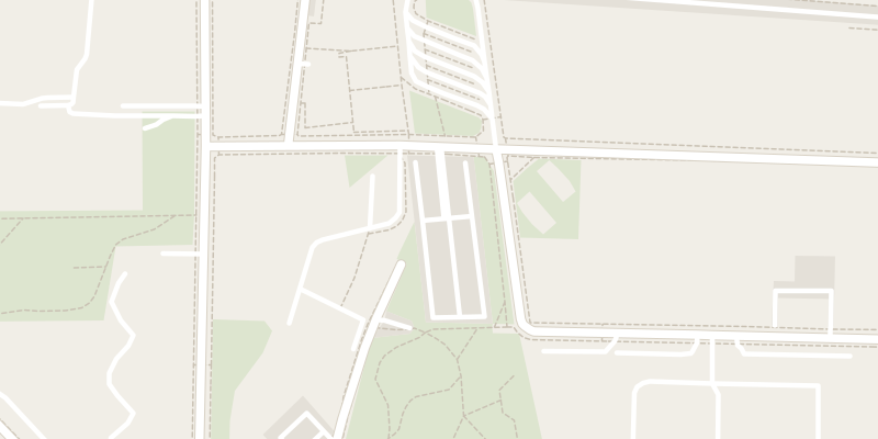
 © OpenStreetMap contributors
 Paid
Parcheggio di Romolo livello stradale
Milano, Italy
Surface car park in Milano
The destination is pre-filled: set off without retyping anything.
The essentialsSurface
Price Paid
Spaces 245
Operator ATM
Distance 3.3 km from the centre
Source: OpenStreetMap (way/133065038). Data retrieved on 25 September 2026.
On foot from the car park
Largo Tazio Nuvolari 2 min
Milano Romolo 3 min
Romolo 3 min
Parco di Via Rimini, Via La Spezia 3 min
Approximate walking times, measured in a straight line.
Public transport nearby
M2
Romolo · Metro 2 min 2
ROMOLO · Metro 3 min R31S19S9
Milano Romolo · Train 3 min M2
Famagosta · Metro 6 min 2
FAMAGOSTA · Metro 7 min Bus 4759719091324325NM2172z553
Lines and stations: open data (ATM (feed AMAT, Comune di Milano, dataset ds929), Trenord (treni regionali e suburbani S, Malpensa Express), Regione Lombardia, OpenStreetMap). Approximate walking times, in a straight line.
Good to know
Parcheggio di Romolo livello stradale is a paid surface car park in Milano. The price is not published in our sources: expect to pay on site.
In Italy, blue lines mark paid parking, white lines free parking and yellow lines reserved spaces (residents, disabled drivers, loading and unloading).