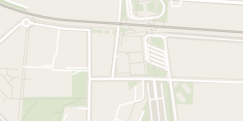
 © OpenStreetMap contributors
 Romolo multipiano
Milano, Italy
Underground car park in Milano
The destination is pre-filled: set off without retyping anything.
Source: OpenStreetMap (way/1110705424). Data retrieved on 25 September 2026.
On foot from the car park
Approximate walking times, measured in a straight line.
Public transport nearby
Line NM2 from romolo m2 to cairoli m1: 5 stops, about 12 min.
Lines and stations: open data (ATM (feed AMAT, Comune di Milano, dataset ds929), Trenord (treni regionali e suburbani S, Malpensa Express), Regione Lombardia, OpenStreetMap). Approximate walking times, in a straight line.
Good to know
Romolo multipiano is a paid underground car park in Milano. The price is not published in our sources: expect to pay on site.
Park and Ride (P+R): leave the car here and continue into the centre by public transport.
In Italy, blue lines mark paid parking, white lines free parking and yellow lines reserved spaces (residents, disabled drivers, loading and unloading).